The Hastings River floodplain and coastal dune systems around Port Macquarie create a layered subsurface that shifts from loose quartz sands to stiff Oligocene clay within a single site. More than half of the city’s development sits on these Pleistocene barrier sands, where groundwater is often found at less than 2.5 metres depth. A soil mechanics study here has to answer two questions in parallel: how the sand will behave under load, and whether the clay lenses will introduce differential settlement. We run the full suite of AS 1726 tests in our accredited lab, starting with grain-size distribution to classify the sand fraction and Atterberg limits to define the plasticity of any clay seams encountered during drilling.
A soil mechanics study on the Hastings floodplain means reading the sand-clay transition before the footing sees it.
Scope of work
Area-specific notes
Port Macquarie sites with perched groundwater in the dune sand can lose effective stress during excavation, and we have seen batter failures at 1.5:1 slopes that looked conservative on paper. The real trigger is often a thin silt layer that blocks drainage and builds pore pressure after rain. A soil mechanics study that skips multi-stage triaxial or misreads the Atterberg limits of that silt will underestimate the time-dependent strength loss. The other pattern we observe is acid sulfate soil in the low-lying estates west of the Pacific Highway; if the laboratory does not run pH and total oxidisable sulfur per AS 4964, the site classification is incomplete and the structural design misses the durability risk to concrete footings.
Standards used
AS 1726:2017, AS 1289 (relevant methods), AS 4678:2002, AS/NZS 1170.0:2002, AS 4964
Linked services
Laboratory Testing Program
Triaxial (CU, CD, UU), direct shear, oedometer consolidation, and point-load testing on Port Macquarie rock cores. All results are reported with AS 1289 method references and lab control charts.
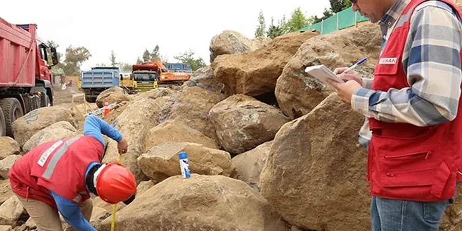
Site Investigation and Sampling
Drilling with thin-wall Shelby tubes in clay and SPT in sand, plus test pits in accessible areas. We map the coffee-rock layer, groundwater table, and any acid sulfate indicators across the site.
Typical parameters
Top questions
What does a soil mechanics study cost for a residential block in Port Macquarie?
For a standard residential block requiring a borehole, laboratory classification, and a foundation report, the soil mechanics study typically falls between AU$5,070 and AU$7,700. The final figure depends on the depth to refusal, whether we encounter coffee-rock that requires coring, and the number of triaxial tests needed for the bearing capacity analysis.
How deep do you drill for a soil mechanics study on the Hastings floodplain?
We follow AS 1726 and the footing type proposed by the structural engineer. For a slab-on-ground, we usually drill to 1.5 times the width of the loaded area below the founding depth, often 4 to 6 metres. Where deeper clay or potential acid sulfate layers are suspected, we extend the borehole to 8 or 10 metres to capture consolidation parameters and sulfate profiles.
How long does the laboratory testing take after drilling in Port Macquarie?
Classification tests (grain-size, Atterberg limits, moisture content) are typically reported within three to four working days. Consolidated-undrained triaxial tests require longer saturation and shear stages, so the final report with effective stress parameters is usually delivered seven to ten working days after the samples arrive at the lab.