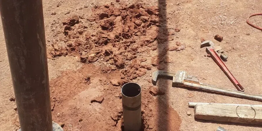
Port Macquarie sits where the Hastings River meets weathered coastal sediments, and that contact zone creates real variability in hydraulic conductivity. A borehole log alone will not tell you how water moves through a fractured siltstone lens or a buried paleochannel. We run field permeability tests to measure that movement directly. The Australian standard AS 1726-2017 governs site investigation, and our testing protocol follows its requirements for packer placement and injection monitoring. For projects near Settlement Point or the canal estates west of the CBD, we often pair variable-head Lefranc tests in soil with in-situ permeability profiling across different strata. The data feeds directly into groundwater control design and excavation dewatering plans.
A single Lugeon test can reveal whether a rock mass needs curtain grouting or is tight enough to hold a reservoir without leakage.
Scope of work
Area-specific notes
Projects in the Lighthouse Beach area face a different risk profile than those up in the Thrumster hills. Near the coast, high-permeability sands can drain a dewatered excavation in hours, pulling fine particles and causing ground loss outside the shoring. Inland, where residual clay overlies fractured rock, the opposite problem occurs: water percolates slowly through fissures, building pore pressure behind retaining structures over weeks. Skipping the field test and relying on lab permeameters alone misses these macro-scale flow paths. A rock mass with a Lugeon value above 5 often requires pre-excavation grouting; below 1, it is practically impermeable. Those numbers change the cost and method statement for any project deeper than a few metres. Port Macquarie's council development applications increasingly ask for AS 1726-compliant permeability data when groundwater interaction is flagged—ignoring that requirement delays approvals and adds cost.
Standards used
AS 1726-2017 Geotechnical Site Investigations, AS 4678-2002 Earth Retaining Structures, AS/NZS 1170 series – Structural design actions, Houlsby (1976) – Lugeon test interpretation criteria
Linked services
Lefranc variable-head test
Suitable for soil and extremely weathered rock. A test section is isolated below casing, and the rate of water level recovery is measured to calculate the coefficient of permeability (k in m/s). We run multiple tests per borehole to capture vertical variation, particularly useful in stratified estuarine deposits common along the Hastings River floodplain.
Lugeon packer test
Designed for rock masses where fractures control permeability. A pneumatic packer seals the test interval, and water is injected at up to five pressure increments. The resulting Lugeon value quantifies rock mass tightness and is the standard input for grouting design on dam, tunnel, and deep excavation projects across the Mid North Coast.
Typical parameters
Top questions
What is the cost of a field permeability test in Port Macquarie?
A single Lefranc test typically runs between AU$980 and AU$1,260; a full five-stage Lugeon test ranges from AU$1,200 to AU$1,440, depending on depth and access conditions. Mobilisation to sites across Port Macquarie is included within a 30 km radius of the CBD. The final quote accounts for the number of test intervals, packer type, and whether the test is standalone or integrated into an existing drilling programme.
When is a Lugeon test preferred over a Lefranc test?
The choice is driven by the ground type, not project preference. Lefranc applies to soil and very weathered rock where the test zone can be cased and a filter sand placed. Lugeon is specified for rock with a core recovery above 50% where fractures control flow—anything from Triassic siltstone to the metasediments found in the Port Macquarie hinterland. The Lugeon method also provides the pressure-flow curves needed for grouting assessments.
How long does the testing take on site?
A single Lefranc test at one depth takes about 45 to 60 minutes once the borehole is advanced and cased. A complete Lugeon cycle across five pressure stages runs roughly 90 minutes per test interval. For a typical investigation with three test zones in a 20-metre borehole, expect half a day including set-up, packer inflation checks, and recording stabilised flow at each pressure step.
Do you provide the permeability data in formats suitable for groundwater modelling?
Yes. The field data—including stabilised flow rates, applied pressures, water levels, and Houlsby-corrected Lugeon values—are compiled in a digital report with tabulated k-values and pressure-flow graphs. The dataset can be delivered as a CSV supplement for direct import into SEEP/W, MODFLOW, or PLAXIS flow modules, which is often required for dewatering impact assessments submitted to Port Macquarie-Hastings Council.